GNSS Sales & Support and Rentals
Join the data collection REVOLUTION that allows you to collect High Accuracy data with an iOS, ANDROID, or Window device along with Eos GNSS ARROW Series ™ receivers.
Easy and intuitive to use, the ARROW Series ™ of GNSS receivers are designed to work with most any device or app.
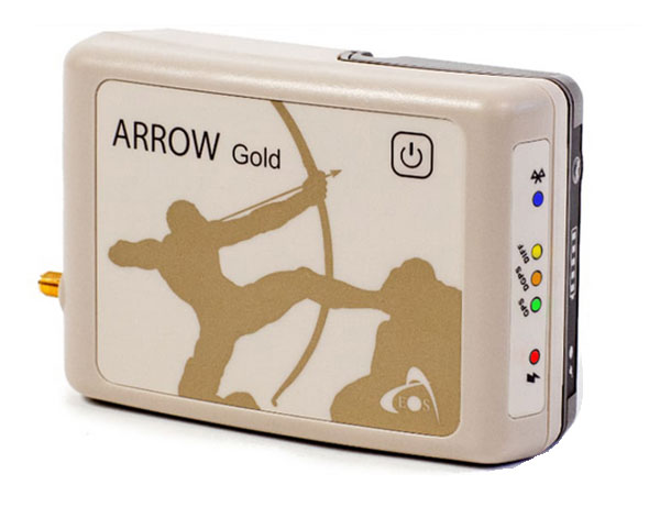
ARROW Series ™ are the standard for high-accuracy Bluetooth receivers in supporting multi-constellation (GPS, GLONASS, Galileo, BeiDou, QZSS), universal Bluetooth (iOS, ANDROID, Windows) and variable range Bluetooth (up to 1KM) in a lighter, more affordable package.
Eos Arrow / ESRI AGOL Bundle
Texian Geospatial is a licensed Eos distributor. Our services come with the option to purchase Eos Arrow GNSS Receivers, Base Stations, and accessories for independent asset management tools.
Our team of specialists will provide in-person training and technical support throughout the life of the device. This bundle also includes an Esri ArcGIS Online account setup with solution design and training.
Esri ArcGIS Online allows for instant access to your data on any mobile device. This is excellent for those that need to make changes in the field.
TEXIAN ARROW GOLD BUNDLE
includes the Arrow Gold RTK GNSS receiver and access to Esri field worker, creator, and ArcGIS Pro user types. With a combination of the Arrow Gold and Esri user types, organizations of all sizes can customize their centimeter-accurate field mapping solutions.
With real-time field-to-office RTK data collection, organizations will benefit from streamlined data collection workflows that reduce manual labor, increase accuracy, facilitate real-time decision-making, and simplify regulatory compliance at one of the most affordable prices for this leading technology.

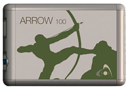
TEXIAN ARROW 100 BUNDLE
The Arrow 100 Bundle includes the Arrow 100 GNSS receiver and access to Esri field worker. creator, and ArcGIS Pro user types. With a combination of the Arrow 100 and Esri user types, organizations of all sizes can customize their sub-meter-accurate field mapping solutions.
With real-time field-to-office data collection, organizations will benefit from streamlined data collection workflows that reduce manual labor, increase accuracy, fac1lrtate real-time decision- making, and simplify regulatory compliance at one of the most affordable prices for this leading technology.
Eos Applications
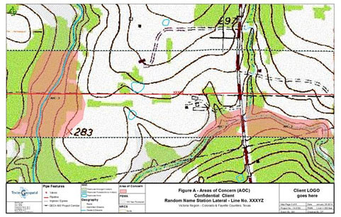
EOS LOCATE
Detect pipelines with integrated technology that connects directly with Esri GIS Software

EOS LASER MAPPING
Use lasers to map distant or hard to reach assets with impeccable accuracy.

EOS BRIDGE
Convert non-Bluetooth instruments and sensors into iOS compatible devices.
